DRONE SERVICES
Inspections
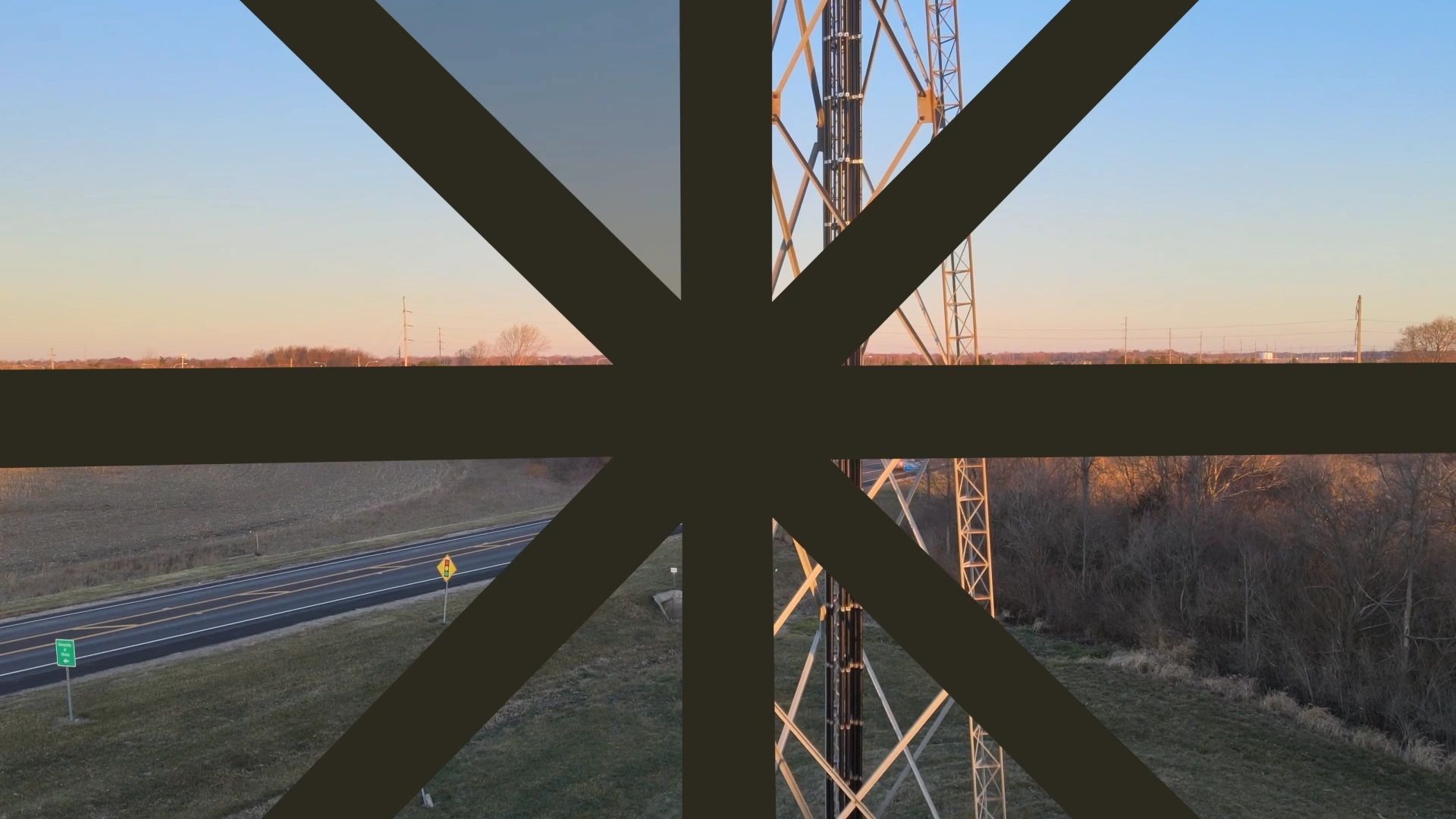
Monitoring & Mapping
Monitoring & Mapping

High-precision aerial inspections for solar and wind energy assets and utilities across the Midwest. Using thermal imaging and detailed visual reporting, we help operators detect issues early, reduce downtime, and protect long-term performance.
Monitoring & Mapping
Monitoring & Mapping
Monitoring & Mapping
Construction survey and monitoring services combine precise aerial mapping with scheduled progress documentation to deliver dependable project visibility. From surveys to cinematic site overviews, teams gain clear project insight.
Cinematography
Cinematography
Cinematography
CU SkyEye captures cinematic fly-throughs and polished marketing footage for commercial real estate, residential listings, developers, hospitality, and local businesses. We help you tell a compelling visual story that drives engagement and demand.
SAR
Cinematography
Cinematography
We support local search and rescue efforts using clear, reliable thermal imagery. Our aerial thermal imaging services deliver dependable heat-signature data across challenging terrain and varied conditions.
Integrity & Reliability
Precision & Professionalism
Precision & Professionalism

We operate with transparency, consistency, and accountability on every project. Clients can expect clear communication, dependable timelines, and results they can trust from start to finish.
Precision & Professionalism
Precision & Professionalism
Precision & Professionalism
Every flight is planned and executed with care, accuracy, and attention to detail. Our work reflects a high standard of professionalism, delivering clear, usable data and imagery tailored to each project’s needs.
Innovation
Precision & Professionalism
Innovation
We invest in advanced drone platforms, sensors, and data-processing tools to deliver accurate results, fast turnaround, and modern solutions for complex projects.
CONNECT
Connect with us!
Interested in working with CU SkyEye? Let’s talk about your project.
